discover.swiss ID
ds_chur
discover.swiss Additional Type
TourismArea

Rhine and Tuma heights around Domat/Ems

Medium
17.6 km
5:00 h
302 mhd
302 mhd
Domat/Ems und die markanten Tumas
Tumas und Kirchtürme von Domat/Ems

Show all 4 images

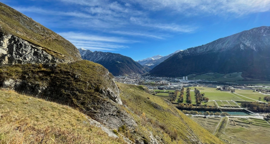
Domat/Ems mit Tumas und Blick ins Rheintal bis Chur
Interesting hiking tour around the so called «Tumas» (rubble cones) in Domat/Ems and the surrounding Rhine valley.
Technique 1/6
Fitness 3/6
Highest Point  790 m
Lowest Point  582 m
Best Season
Jan
Feb
Mär
Apr
Mai
Jun
Jul
Aug
Sep
Okt
Nov
Dez
Start
Domat/Ems, bus stop in the village
Destination
Domat/Ems, bus stop in the village
Coordinates
46.83376, 9.44758

Details

Description

The plain around Domat/Ems consists of different landslides: The Flimser Bergsturz, Kunkels and Calanda. The erosion has left over only the hard debris. This hills are called «Tumas» and build a protected nature reserve today.

The Chur city bus no.1 takes you from the main station to Domat/Ems (bus-stop «Domat/Ems Post»), the starting point. During this hiking tour you will explore different «Tumas», cross the Rhine river and visit the village of Tamins. On the way back to Domat/Ems, you cross the Rhine river another time, across a weir this time. At the same bus-station (Domat/Ems Post) you take the bus back to Chur.

Responsible for this content Chur Tourism.

Round trip Graubünden Rhine Valley - Bündner Herrschaft

Medium
56.1 km
4:00 h
256 mhd
256 mhd
Unterwegs in der Weinregion Bündner Herrschaft
Weinreben oberhalb Chur

Show all 7 images

Rundtour Bündner Rheintal - Bündner Herrschaft
Wonderful round trip through the wine region of the Bündner Rheintal and Bündner Herrschaft.
Technique 1/6
Fitness 4/6
Highest Point  683 m
Lowest Point  494 m
Best Season
Jan
Feb
Mär
Apr
Mai
Jun
Jul
Aug
Sep
Okt
Nov
Dez
Start
Chur, train station
Destination
Chur, train station
Coordinates
46.853616, 9.53027

Details

Description

This tour takes you from Chur through the wine regions of the Rhine valley and the Bündner Herrschaft. Enjoy the beautiful scenery and villages in this region. The journey back to Chur is along the well known bicycling route along the Rhine river.

Responsible for this content Chur Tourism.

Felsberger Älpli - Kunkelspass

Difficult
26 km
7:30 h
1580 mhd
1580 mhd
Blick von der gegenüberliegenden Seite auf das Calanda Massiv
Berggasthaus Überruf am Kunkelspass

Show all 5 images

Blick zurück auf den legendären Kunkelspass
Impressive tour into the mountain world of Chur, at the mountainside of the mighty Calanda massif.
Technique 3/6
Fitness 5/6
Highest Point  2080 m
Lowest Point  565 m
Best Season
Jan
Feb
Mär
Apr
Mai
Jun
Jul
Aug
Sep
Okt
Nov
Dez
Start
Felsberg
Destination
Felsberg
Coordinates
46.84458, 9.47677

Details

Description

To Felsberg you can get easily from Chur with the city bus (line 1) or the Rhaetian Railway. After a steep ascnet you will be rewarded by a gorgeous scenery and unique views on the mountain and into the valley. If you are lucky, you can even spot some wild animals (chamois, alpine ibex) in the surroundings of this tour. At the Kunkelspass is the ideal point for a break at the restaurant Überruf. The way back into the valley along Foppaloch, Benis Boden and along the Senda Sursilvana is worthwile, as well.

Responsible for this content Chur Tourism.

Juchs / Schönegg

Medium
14.3 km
2:00 h
600 mhd
600 mhd
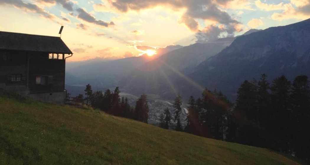
Abendstimmung auf Schönegg
Flowiger Trail zurück in die Stadt Chur

Show all 4 images

Aussicht von Schönegg bei Sonnenuntergang
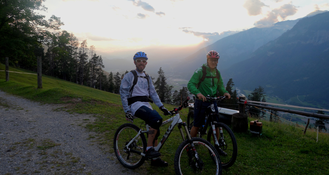
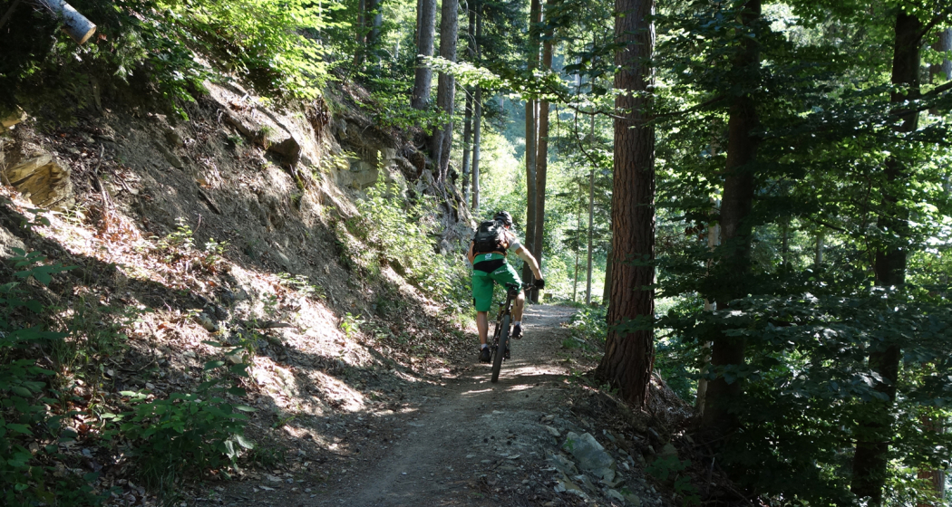
Short but very nice bike tour to Schönegg. Enjoy the splendid views up there, before you will have fun on the singletrack that takes you back to the Alpine City.
Technique 3/6
Fitness 2/6
Highest Point  1389 m
Lowest Point  583 m
Best Season
Jan
Feb
Mär
Apr
Mai
Jun
Jul
Aug
Sep
Okt
Nov
Dez
Start
Chur, train station
Destination
Chur, train station
Coordinates
46.853765, 9.529228

Details

Description

First you cycle through the historic Old town, cross the Plessur river and ride out of the city on a marked cycling path. Soon you get into the forest. At point 729 you can either take a left and ascent to Schönegg. On top you will enjoy gorgeous views into the surrounding mountain scenery (Calanda, Ringelspitz, Rhätikon, mountains around Flims) and the Chur Rhine valley.

For the descent cross the small alp and follow the narrow and technical single track on the right side. Two times you will cross the street and then follow it for a short track, befor finally you will ride a trail with lots of flow back to the city.

Responsible for this content Chur Tourism.

Chur - Bündner Herrschaft - Luzisteig - Rheindamm - Chur

61.6 km
3:15 h
420 mhd
420 mhd
Chur - Bündner Herrschaft - Luzisteig - Rheindamm - Chur
Chur - Bündner Herrschaft - Luzisteig - Rheindamm - Chur (oua_45483875_0d6f74c_profile)
Chur - Bündner Herrschaft - Luzisteig - Rheindamm - Chur
Technique 0/6
Fitness 0/6
Highest Point  716 m
Lowest Point  472 m
Best Season
Jan
Feb
Mär
Apr
Mai
Jun
Jul
Aug
Sep
Okt
Nov
Dez
Coordinates
46.850822, 9.531945

Details

Description

This route takes you through the hills of the Bündner Herrschaft, past huge vineyards and picturesque Torkeln, up to the St. Luzisteig. At 713 metres above sea level, the top of the pass is reached.  A rapid descent leads further down into Liechtenstein. From there it goes back on the Rhine dam in the direction of Chur. Flat and without car traffic, the Rhine dam invites you to really push your pedals. The Rhine dam ends at Bad Ragaz and the route leads along country roads via Bad Ragaz back to Landquart. From there, take  the same route back to Chur as you came. 

Responsible for this content Chur Tourism.
This content has been translated automatically.

rhiienergie Trail Felsberg

Medium
8.9 km
2:25 h
550 mhd
550 mhd
rhiienergie Trail Felsberg
rhiienergie Trail Felsberg (oua_25240669_e6d0ed3_profile)
The Felsberg Trail (red signage) is almost 9 km long with a height difference of 440 meters.
Technique 2/6
Fitness 4/6
Highest Point  1008 m
Lowest Point  588 m
Best Season
Jan
Feb
Mär
Apr
Mai
Jun
Jul
Aug
Sep
Okt
Nov
Dez
Start
Felsberg
Destination
Felsberg
Coordinates
46.843184, 9.46418

Details

Description

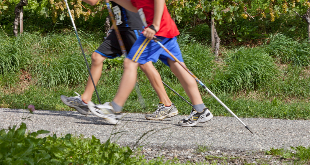
In the communes of Bonaduz, Domat / Ems, Felsberg, Rhäzüns and Tamins, rhiienergie created five interconnected Nordic Walking routes (also suitable for jogging / running). Each route runs for about 10 kilometers on existing paths and roads across meadows and through forests. A corresponding signage shows on the one hand the way direction and on the other the respective distance covered.

Responsible for this content Chur Tourism.
This content has been translated automatically.

Panoramic trail Haldenstein - Felsberg

Medium
11 km
3:05 h
263 mhd
262 mhd
Blick auf die Stadt Chur vom Zielhang aus
Aussicht oberhalb von Haldenstein auf die Stadt Chur

Show all 6 images

Aussicht vom Panoramaweg in Richtung Churer Rheintal
This panoramic trail leads along the Calanda massif and offers a beautiful panoramic view over Chur and the surrounding mountains. Only on weekends continuously walkable.
Technique /6
Fitness 3/6
Highest Point  814 m
Lowest Point  554 m
Best Season
Jan
Feb
Mär
Apr
Mai
Jun
Jul
Aug
Sep
Okt
Nov
Dez
Start
Bus stop Obere Au P+R, Chur
Destination
Bus stop Obere Au P+R, Chur
Coordinates
46.854219, 9.505518

Details

Description

This leisurely circular hike leads along wide natural paths along the Calanda massif. The hike starts from the Obere Au and leads along the Rhine to Haldenstein, where the path leads up to the Panorama Trail. Optionally, the tour can also be started from Haldenstein. 

 
Closure of the finish slope Arabüehl: Please note that the section of the Panorama Trail, which runs through the Waffenplatz finish slope (Calanda finish slope), is only open from Friday, 5 p.m. to Monday, 7 a.m. General winter closure from mid-November to mid-April. More information at https://www.vtg.admin.ch/de/die-schweizer-armee/waffen-schiessplaetze/waffenplatz-chur.html 

Geheimtipp

Optionally, the tour can also be started from Haldenstein. Haldenstein is easily accessible by bus from Chur. Likewise, the tour can already end in Felsberg. From Felsberg you can take the bus or the Rhaetian Railway back to Chur.

Sicherheitshinweis

Closure of the finish slope

Arabüehl: The path through the finish slope is only open to a limited extent. Therefore, it is advisable to check the homepage of the Waffenplatz Chur to see if it is open or not. For more information, see https://www.vtg.admin.ch/de/die-schweizer-armee/waffen-schiessplaetze/waffenplatz-chur.html

Directions

This hike starts at the bus stop Obere Au P+R, where there are also parking facilities. From here the path leads to the Rhine. From here, the path runs along the banks of the Rhine to the Pardisla Bridge. This bridge is crossed and the path continues to Oldiswald, where the path turns left. Follow this path to the village entrance Haldenstein, where the höhenweg begins. 

Here the path winds gently up the hill. Continue over pastures and through forest, along the Calanda massif. On the way, there are always wonderful viewpoints of Chur and the surrounding mountains. Various benches invite you to take a break and enjoy the panorama. 

Soon you have reached the military target slope Arabüehl above Chur. As soon as you have traversed it, you will continue through a tunnel on a paved road. This leads down, in the direction of Felsberg. At the bottom of unter Neugüter Strasse, the path leads to the left, in the direction of the banks of the Rhine. Along the Rhine it goes back to the starting point in the Upper Au. Alternatively, you can turn right on Unter Neugüter Strasse and walk to Felsberg and end the tour there.

Directions

Public Transport

By bus from Chur to Obere Au, Chur Bus line 2 runs regularly from Chur train station to Obere Au Station: Chur,

Obere Au
P+R

By bus from Chur to Haldenstein(abbreviated variant)
Bus line 3 runs regularly from Chur
train station to Haldenstein
Station: Haldenstein, Usserdorfstrasse

By bus/Rhaetian Railway from Felsberg to Chur

Bus line 1 and various Rhaetian Railway
trains run regularly from Felsberg to Chur. 
Bus stops: Felsberg, Bahnhof / Felsberg, Calanda
Stop Rhaetian Railway: Felsberg station

Parking

Parking in the parking lot Obere Au P+R

Responsible for this content Chur Tourism.
This content has been translated automatically.

rhiienergie Trail Tamins

Medium
7.2 km
1:50 h
270 mhd
270 mhd
rhiienergie Trail Tamins
rhiienergie Trail Tamins (oua_25240696_e2c8fcd_profile)
The Tamins Trail (orange signage) is just under 7.5 km long with a height difference of 270 meters.
Technique 2/6
Fitness 3/6
Highest Point  823 m
Lowest Point  607 m
Best Season
Jan
Feb
Mär
Apr
Mai
Jun
Jul
Aug
Sep
Okt
Nov
Dez
Start
Tamins
Destination
Tamins
Coordinates
46.833095, 9.406022

Details

Description

In the communes of Bonaduz, Domat / Ems, Felsberg, Rhäzüns and Tamins, rhiienergie created five interconnected Nordic Walking routes (also suitable for jogging / running). Each route runs for about 10 kilometers on existing paths and roads across meadows and through forests. A corresponding signage shows on the one hand the way direction and on the other the respective distance covered.

Responsible for this content Chur Tourism.
This content has been translated automatically.

Rundroute Dreibündenstein (GR 4)

Medium
13.5 km
5:00 h
559 mhd
559 mhd
Beim Dreibündenstein
Bei Spundis - mit Aussicht zum Calanda

Show all 6 images

Panoramatafel auf Furggabüel
Rundroute Dreibündenstein (GR 4)
Technique 2/6
Fitness 4/6
Highest Point  2165 m
Lowest Point  1591 m
Best Season
Jan
Feb
Mär
Apr
Mai
Jun
Jul
Aug
Sep
Okt
Nov
Dez
Start
Brambrüesch
Destination
Brambrüesch
Coordinates
46.829178, 9.516093

Details

Description

The area between the 3 mountain railways of Chur-Dreibündenstein (Brambrüesch), Pradaschier and Feldis is a paradise for snow shoeing. The high plateau in the centre of these areas offers spectacular panorama views of the surrounding mountain scenery (Calanda, Arosa, Lenzerheide, Flims-Laax and Surselva). The peak point where the different routes merge is the landmark of the Dreibündenstein at 2160 m, a stone monument to the freedom fighters of Graubünden, which marks the common border point of the former Three Leagues of Raetia. This signposted route goes from Brambrüesch to the Dreibündenstein and back to Brambrüesch (GR 4).

Directions

Public Transport

Take the train to Chur station. From there, the city bus (line 1) takes 3 minutes to the valley station of the mountain railways (Stadthalle/Brambrüeschbahn stop).

Anreise Information

  • Motorway exit Chur Süd

  • Drive into the city (Kasernenstrasse)

  • The valley station and car park are on the right-hand side in front of the town centre

Parking

More about parking for guests of the Chur mountain railways.

Responsible for this content Brambrüesch.
This content has been translated automatically.

Helsana Trail Chur: Grosser Trail

Medium
13 km
2:20 h
438 mhd
438 mhd
Helsana Trail Chur: Grosser Trail
Helsana Trail Chur: Grosser Trail (oua_25240934_63e754c_profile)
The long trail is signposted yellow and with a length of 13 km the longest round and rather challenging.
Technique 2/6
Fitness 4/6
Highest Point  922 m
Lowest Point  643 m
Best Season
Jan
Feb
Mär
Apr
Mai
Jun
Jul
Aug
Sep
Okt
Nov
Dez
Start
Waldhausstall Fürstenwald, Chur
Destination
Waldhausstall Fürstenwald, Chur
Coordinates
46.870252, 9.544071

Details

Description

In the Fürstenwald near Chur there are three signposted jogging / nordic walking trails available:

  • Short Trail (blue route)
  • Medium Trail (green route)
  • Long Trail (yellow route)

The Fürstenwald is a recreational area near Chur. It offers a diverse and popular route network for joggers and nordic walkers.

Responsible for this content Chur Tourism.
This content has been translated automatically.